When the App Says Forty Minutes and Your Driver Says Twenty: The Real Edge of Knowing Hayward by Heart
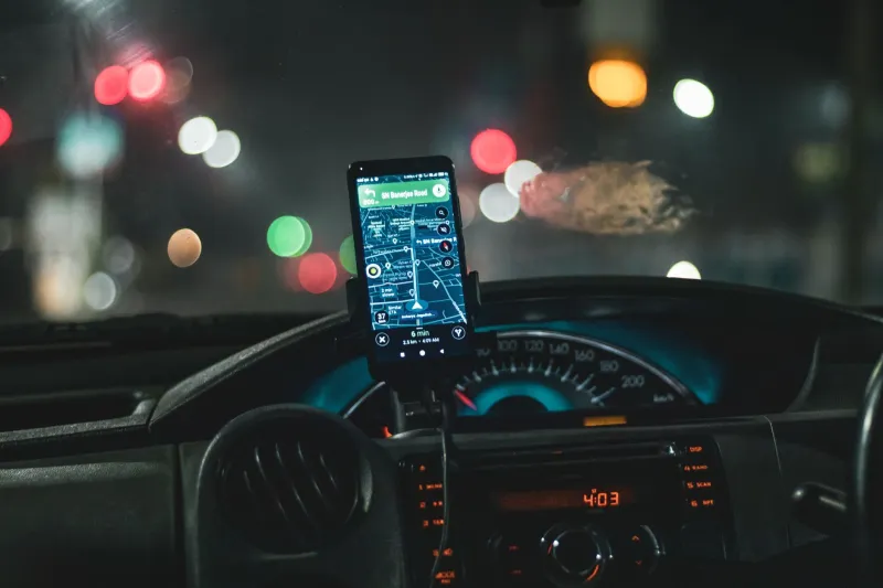
You've been there. You're in the backseat, watching a little blue dot inch across a map, and the estimated arrival time just ticked up — again. Meanwhile, you've got a flight to catch at OAK, a client meeting downtown, or a medical appointment that absolutely cannot wait. The app is confident. The app is wrong. And somewhere in that gap between digital certainty and street-level reality is exactly why local knowledge still wins.
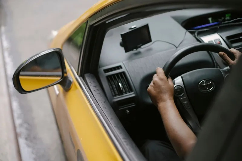
Hayward isn't just another pin on a Bay Area map. It's a city with its own rhythms, its own problem intersections, its own quirks that only reveal themselves after years of actually driving its streets. That's something a satellite can't hand you.
What an App Actually Sees — And What It Misses
Navigation apps are impressive tools. Nobody's arguing that. But they operate on data — historical traffic patterns, reported incidents, and crowd-sourced slowdowns that users flag in real time. What they can't account for is everything happening right now that hasn't been logged yet.
Take the stretch of Mission Boulevard near downtown Hayward. On a Tuesday morning, it can flow fine. But if there's a water main repair crew that showed up at 7 a.m. without a prior permit pull — which happens more than you'd think — that section turns into a slow crawl that won't show up on any app for another 20 minutes. By then, you're already stuck.
Or consider the weeks surrounding the Hayward Area Recreation District's big seasonal events, when parking demand spills onto surrounding residential streets and turns normally quiet cut-throughs into improvised parking lots. An app routes you straight through them. A driver who's been working these streets for a decade goes around before the problem even starts.
The Construction Calendar Nobody Publishes
One of the most underrated advantages a seasoned Hayward taxi driver brings to the table is an almost instinctive awareness of ongoing construction — not just the major freeway projects that make the evening news, but the smaller, patchwork infrastructure work scattered across the city.
The 238 corridor, stretches along Industrial Boulevard, school zone upgrades, utility trenching near BART stations — these projects come and go on timelines that rarely make it into any centralized database. Drivers who are out there every single day absorb this information organically. They notice the orange cones going up before the lane closures are formalized. They know which detour actually moves and which one just redirects you into a different bottleneck.
For someone trying to catch the 8:14 BART train at South Hayward or make a connection at Union City, that kind of awareness can be the difference between a smooth trip and a genuinely stressful scramble.
Real Scenarios Where Local Beats Digital
Let's make this concrete.
Scenario one: The airport run during a Warriors game. Anybody who's tried to cut through the East Bay toward Oakland Airport on a game night knows what that looks like. An app calculates the fastest current route — often still pointing you toward the same congested corridors because the slowdown hasn't fully materialized yet. A local driver who's made this run dozens of times on game days already knows to avoid those corridors entirely, taking a longer-looking path that actually shaves 15 minutes off the trip.
Scenario two: The morning school rush near Hayward Unified campuses. Between roughly 7:45 and 8:30 a.m., several key streets near elementary and middle schools become genuinely unpredictable. Drop-off backups can extend a full block or more, and the cross-traffic from parents making three-point turns adds chaos that apps simply aren't calibrated to handle at that granular a level. A driver who works morning shifts in this city has learned exactly which parallel streets stay clear and which ones fill up just as fast.
Scenario three: Post-event dispersal from the Hayward Shoreline or the Chabot campus. When a large event wraps up, the immediate vicinity turns into a slow-motion gridlock for 20 to 40 minutes. Apps often still route you directly through the area because the traffic data lags. An experienced driver reads the timing, adjusts the approach, and gets you out before the worst of it sets in.
Stress Is Part of the Cost, Too
Here's something that doesn't always make it into the transportation conversation: the mental toll of a chaotic, unpredictable commute is real. Sitting in a car watching your ETA stretch while you've got a packed morning ahead isn't just inconvenient — it's genuinely draining. It sets a tone for your whole day.
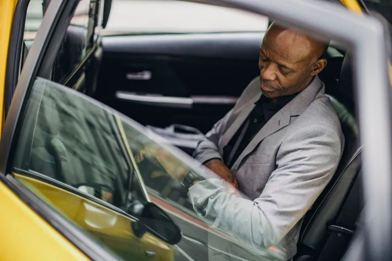
When you're riding with someone who actually knows where they're going — not just following a voice prompt — there's a different energy in the car. You can decompress instead of white-knuckling it. You can check your email, review your notes, or just breathe for a few minutes before walking into whatever's waiting for you. That's not a small thing.
The Shortcut That Isn't on the Map
Every experienced Hayward driver has a mental library of routes that simply don't exist in any navigation app's routing logic. Not because they're secret, but because algorithms optimize for speed on known corridors — they're not built to discover that a specific sequence of neighborhood streets, timed right, can sidestep a predictable backup entirely.
These aren't reckless shortcuts through residential zones. They're legitimate, well-traveled alternatives that local drivers have tested, refined, and come to rely on over years of daily driving. They know which ones work at 7 a.m. and which ones are better saved for midday. That contextual judgment — time-of-day awareness applied to specific local geography — is genuinely difficult to replicate with software.
Why This Matters More Than Ever
As the Bay Area keeps growing and Hayward continues to develop — new housing, expanded commercial corridors, shifting commute patterns — the gap between what apps know and what local drivers know may actually be widening in some ways. Infrastructure changes faster than data models update. Neighborhood traffic patterns shift with new businesses and construction phases. The city is always in motion.
For commuters and travelers who are serious about getting where they need to go on time, that local intelligence isn't a nice-to-have. It's a genuine operational advantage.
So the next time an app tells you forty minutes and your driver tells you twenty, trust the driver. They've earned that confidence one Hayward street at a time.