Fog, Wind, and the Weather App That Lied to You: Why Hayward's Climate Makes Bay Area Transit Planning a Guessing Game
There's a running joke among longtime East Bay residents: if you don't like the weather, drive five miles. It's funny because it's true — and nowhere in the Bay Area does that truth hit harder than in Hayward.
The city occupies a geographic position that makes it one of the most meteorologically distinct spots in the region. Tucked between the hills to the east and the bay to the west, Hayward experiences weather patterns that routinely diverge from what your phone's forecast says is happening in "the Bay Area." For commuters trying to plan reliable transportation, that divergence matters more than most people realize.
What Makes Hayward's Weather Different
The Bay Area is famous for its micro-climates — the phenomenon where San Francisco fog, East Bay sun, and South Bay warmth can coexist within a 30-mile radius on the same afternoon. Hayward sits at the intersection of several of these competing systems, which makes it uniquely unpredictable.
To the west, the bay acts as a temperature regulator and a fog generator. Marine layer from the Pacific pushes through the Golden Gate and spreads across the bay surface, often reaching Hayward's flatlands in the early morning hours before burning off — or sometimes not burning off at all. To the east, the hills create their own pressure gradients, funneling wind through the natural gaps in the terrain and producing gusts that can shift conditions within a matter of minutes.
The result is a city that can be socked in with dense fog at 6 a.m., brilliantly sunny by 10 a.m., windy and cool by 2 p.m., and back under a marine layer by evening — all while a weather app confidently reports "partly cloudy, 68 degrees" for the broader East Bay region.
Why This Matters for Commuters
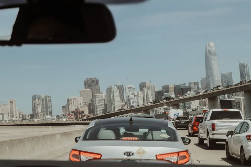
Weather affects transportation in ways that are easy to underestimate when you're planning from the comfort of your living room. Reduced visibility slows traffic on 880 and 92. Wind events disrupt BART service more often than the transit authority publicly acknowledges. Fog on the bay bridges creates unpredictable backup patterns that ripple inland. And early-morning marine layer — the thick, low-hanging kind Hayward gets regularly — is a particular hazard for drivers unfamiliar with local conditions.
For riders using app-based rideshare services, weather-related delays create a specific kind of problem: the algorithm doesn't know what the fog looks like at the intersection of Mission and Jackson at 5:30 a.m. It knows regional traffic data. It knows historical patterns. But it doesn't have a driver sitting at that intersection who can see the visibility is down to a quarter mile and adjust their approach speed accordingly.
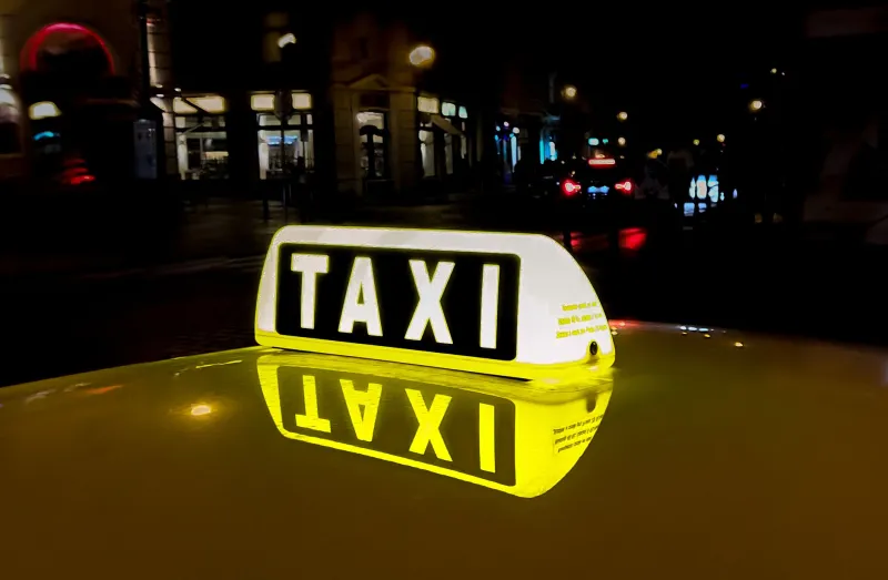
Local taxi drivers do. And that difference — between regional data and ground-level human judgment — is the gap where commutes get saved or lost.
The Fog Window: Hayward's Trickiest Transportation Challenge
Of all the weather variables that affect Hayward commuting, the morning marine layer is the most consistently underestimated. It tends to be heaviest in late spring and early summer — a period Bay Area locals call "June Gloom" — but it can appear any month of the year, particularly along the flatlands near the bay.
The challenge for commuters is that the fog window is narrow and highly localized. The hills east of Hayward might be completely clear while the flatlands near the water are running at 30% visibility. A generic weather forecast won't capture that distinction. A driver who lives and works in Hayward will.
Experienced local drivers know, for example, that the stretch of Hesperian Boulevard near the bay can hold fog long after the hills have cleared. They know that certain mornings — particularly after a warm inland day followed by a cold night — the marine layer will be thick enough to require extra travel time even when the highway cameras show clear conditions a few miles north or south.
Building that knowledge into route planning isn't something an algorithm does well. It's something a person does, over years of watching the same patterns repeat.
Wind, Heat, and the East Hills Effect
Fog isn't the only factor. Hayward also sits in the path of the Altamont Pass wind corridor, which funnels air from the Central Valley through the hills and into the East Bay during certain pressure patterns. These wind events can be intense — gusty enough to make driving genuinely challenging, and consistent enough that anyone who commutes regularly through the area learns to watch for them.
In summer and early fall, Hayward can also experience significant heat spikes driven by inland high-pressure systems. These are the same systems that push Bay Area temperatures into the 90s and 100s in the valleys, and while the bay moderates Hayward's exposure, the city can still see temperatures 15 to 20 degrees warmer than San Francisco on the same afternoon. That heat affects road conditions, tire pressure, and driver alertness in ways that compound over a long commute.
For anyone planning airport runs during a heat event — particularly to SFO, which sits in a different micro-climate entirely — the temperature gradient between Hayward and the coast can be dramatic enough to affect what you wear and how early you leave.
Planning Smarter in a City That Defies Forecasts
So what's the practical takeaway for Hayward commuters and travelers?
First, stop treating Bay Area weather forecasts as applicable to your specific neighborhood. Check a hyper-local source — the NWS point forecast for your zip code is more useful than a city-wide summary — and pay particular attention to marine layer forecasts in the morning hours.
Second, build weather buffers into your important trips. If you're heading to Oakland International on a foggy morning, add time. If you're commuting through the bay flatlands during a wind advisory, expect delays on the bridges and adjust your departure accordingly.
Third, consider the value of a driver who already knows all of this. Local taxi services in Hayward aren't just offering a ride — they're offering the accumulated knowledge of someone who has navigated these conditions hundreds of times. That driver knows when to leave early, which routes hold fog longest, and how a wind event on the Altamont affects surface streets hours later.
Your weather app is working with regional averages. Your local driver is working with lived experience. In a city as meteorologically specific as Hayward, that distinction is the difference between a commute that goes as planned and one that doesn't.